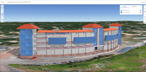
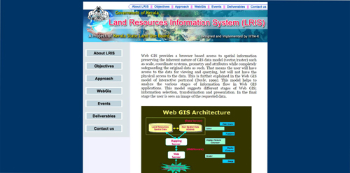
| Design, Development and implementation of Web GIS based Land
Resources Information system for Kerala |
Kerala State Land use Board |
2011-2017 |
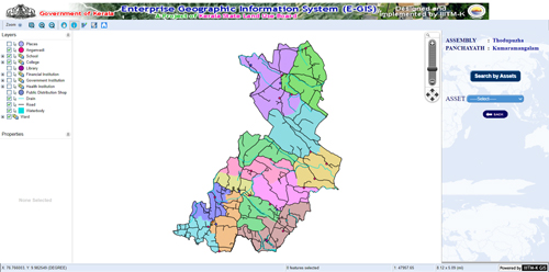
| Design, Development and implementation of an Enterprise
Geographical Information system for Kerala |
Kerala State Land use Board |
Mar 2013 |
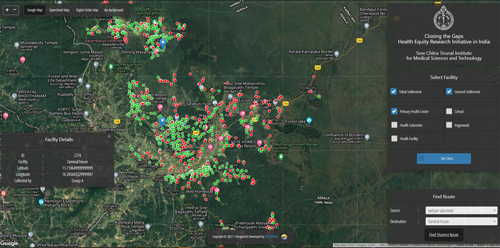
| Web based Spatial Decision Support System for Disease Mapping,
Monitoring and Disease Spread Modeling |
Department of Animal Husbandry |
2014-2024 |
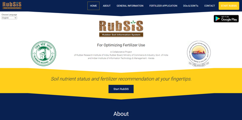
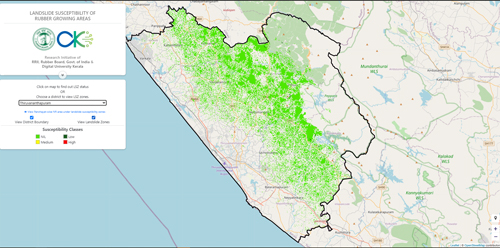
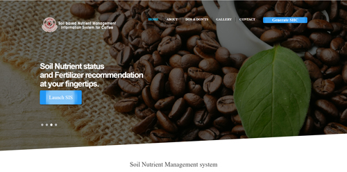
| Conceptualization, design and implementation of Web GIS for soil
fertility mapping and fertilizer recommendation system for
rubber growing regions and Mobile application for fertilizer
recommendation and local language incorporation to RubSIS Web
Application |
Rubber Board of India, Govt. of India |
Jul 2015 - 2017 |
| Developing customizable mobile application using Open Source
Technology for spatial data collection |
Kerala State Land use Board |
Aug 2016 |
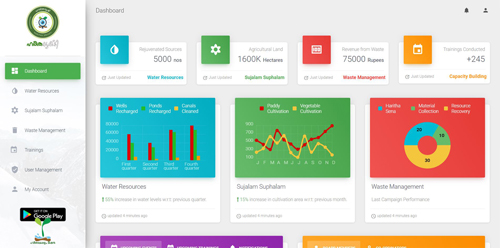
| Online system for evaluation and Monitoring of sub-mission
Activities for Haritha Keralam Mission |
Haritha Keralam Mission |
Dec 2017 |
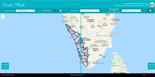
| Design, Development and hosting of Web GIS based Watershed
Information System for Kerala |
Kerala State Land use Board |
Jan 2018 |
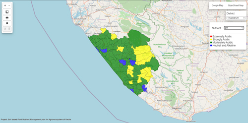
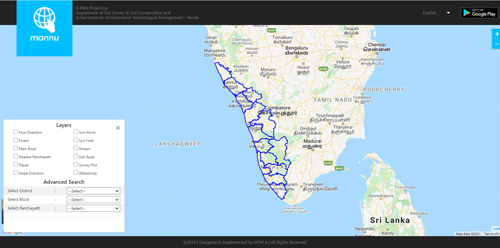
| Conceptualizing, design and development of Mobile app and
Web/Web GIS application for location-specific soil nutrient
status mapping and fertilizer recommendation system for various
crops/varieties for Kerala |
Soil Survey and Soil Conservation |
Jan 2018 |
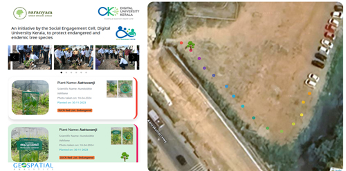
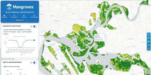
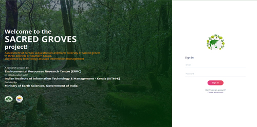
| Assessment of Carbon Storage and Floral Diversity of Sacred
Groves In Three Districts of Southern Kerala, Supported By
Technology Assisted Information Management |
Ministry of Earth Sciences, Govt. of India |
Jan 2018 |
| Design and Development of an Integrated Mobile and Web based
Application for Herd Book Scheme and Progeny Testing |
Kerala Livestock Development Board |
Dec 2019 |
| Development of a Web application for facilitating compilation
and management of water quality testing results, funded by
Haritha Keralam Mission, Govt. of Kerala |
Haritha Keralam Mission |
Jul 2020 |
| Design and development of Mobile app for Census of Rubber area
and Web based Dashboard for administration and management |
Rubber Board of India, Govt. of India |
Jun 2020 |
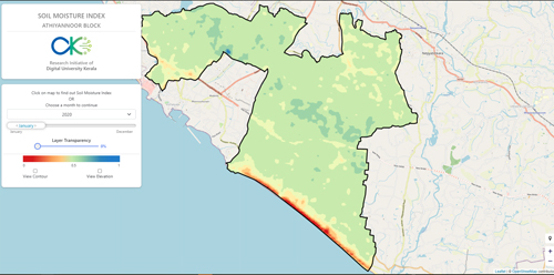
| Collaborative research project on integrating GIS based soil
fertility assessment of cardamom tract and app based fertilizer
recommendation for climate resilient cardamom cultivation |
Cardamom Research Institute, Spices Board |
Nov 2020 |
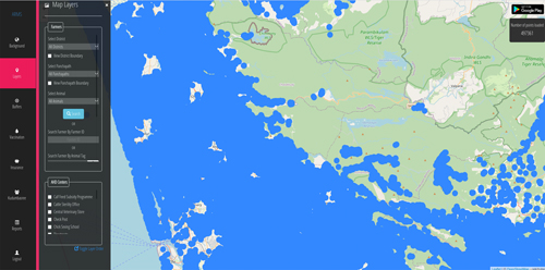
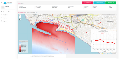
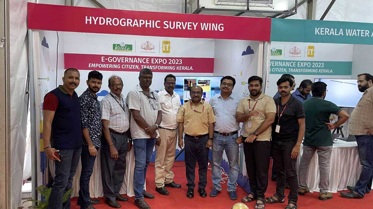
| Design and development of Web GIS based portal for the
management of Hydrographic Data |
Hydrographic Wing, Department of Ports and Fisheries |
Oct 2021 |
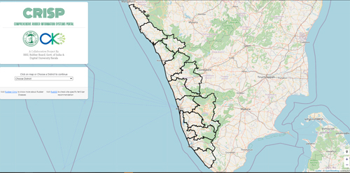
| Comprehensive Rubber Information System Project |
Rubber Board of India, Govt. of India |
Sep 2021 |
| Design and development of a Mobile Application for modernizing
Rubber Board Extension System |
Rubber Board of India, Govt. of India |
Feb 2022 |
| Design and development of integrated mobile and web application
for zero emission project and upgradation and enhancement of Web
application for Water Quality Analysis |
Haritha Keralam Mission |
Nov 2023 |